Introduction
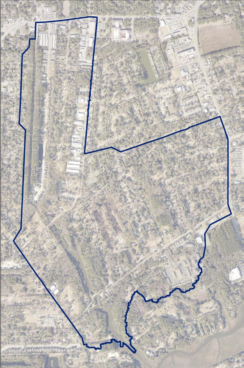
The Central Park Drainage Basin is located on James Island and is generally bounded to the south by Central Park Road, the north by Maybank Highway, the east by Folly Road, and the west by Woodland Shores.
The area experiences significant flooding from increased development and restricted conveyance and outfall systems.
The area is a mixture of City of Charleston and unincorporated Charleston County jurisdictions with both local and State Department of Transportation roadways.
The City of Charleston, in conjunction with Charleston County, has performed a drainage improvement evaluation for the basin and has recommendations to alleviate frequent flooding, and improve overall drainage.
Resources
Presentation of the Drainage Improvement Evaluation
Technical Memorandum: Evaluation and Recommendations for Central Park Project Area 